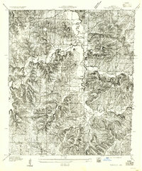
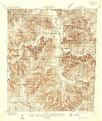
1955 Map of Tarsney
USGS Topo · Published 1955About this map
Sni A Bar Creek and its West Fork carve through the landscape of eastern Jackson County, Missouri, defining the topography of this rural region. The area is characterized by the emerging recreational and residential developments at Tarsney Lake and the eastern edge of Lake Lotawana, contrasting with the established agrarian community structures. Local life in the mid-1930s (when this survey was conducted) centered around landmarks such as Hickory Grove Sch and two local congregations, Providence Ch and Cockrell Ch. The map provides a precise view of the local infrastructure before modern suburbanization, including the alignment of Road No 8 S, which served as a primary artery for the valley's residents.
Find a feature on this map
9 named features on this map. Tap any name to fly to it.
Don’t see what you’re looking for? This feature index may not catch every label — zoom into the map to look around manually.
Map Details
Editions of this 1955 Tarsney Map
This is the sole edition of this map. No revisions or reprints were ever made.
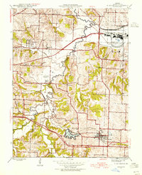
Other maps of this area

1887 · Harrisonville
USGS Topo · 1:125,000

1892 · Harrisonville
USGS Topo · 1:125,000

1894 · Harrisonville
USGS Topo · 1:125,000

1894 · Independence
USGS Topo · 1:125,000
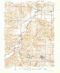
1933 · Blue Springs
USGS Topo · 1:24,000
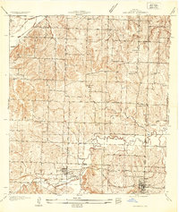
1934 · Oak Grove
USGS Topo · 1:24,000
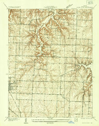
1934 · Woods Chapel
USGS Topo · 1:24,000
1935 · Tarsney
USGS Topo · 1:24,000
1945 · Blue Springs
USGS Topo · 1:24,000
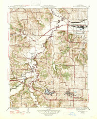
1947 · Blue Springs
USGS Topo · 1:31,680