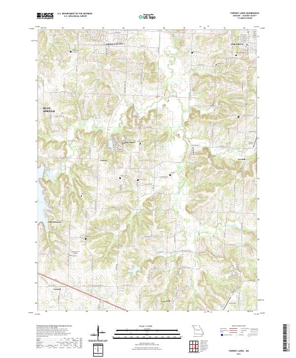
2021 Map of Tarsney Lakes
USGS Topo · Published 2021About this map
The eastern reaches of Jackson County reveal a landscape defined by the winding course of the W Fork Sni-A-Bar Cr and its many tributaries. This area transitions from the developing residential fringes of Grain Valley and Oak Grove in the north to the more open, agricultural terrain surrounding Lone Jack and Cockrell in the south. The map highlights the localized water systems of Tarsney Lakes and Lake Lotawana, which serve as community anchors amid the rolling hills. For those researching family history, the map is a dense record of early rural life, featuring numerous family-named burial grounds such as Purdee Chapel Cem, Gosney Cem, and Alley Cem. This modern survey preserves the locations of legacy settlements like Sni Mills and Tarsney, marking the enduring footprints of 19th-century crossroads communities within a rapidly changing contemporary landscape.
Find a feature on this map
124 named features on this map. Tap any name to fly to it.
Don’t see what you’re looking for? This feature index may not catch every label — zoom into the map to look around manually.
Map Details
Editions of this 2021 Tarsney Lakes Map
This is the sole edition of this map. No revisions or reprints were ever made.
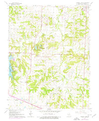
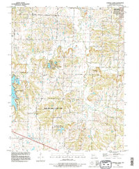
Historical Maps of Tarsney Lakes Through Time
3 maps found