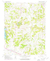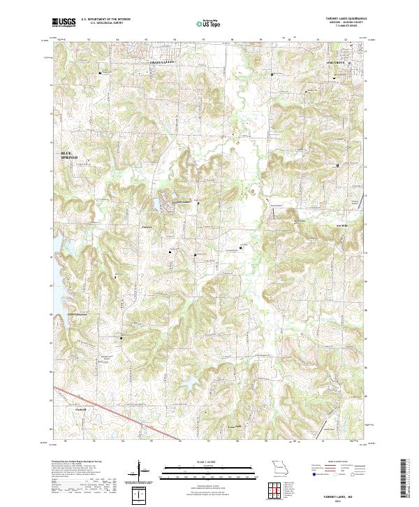
1990 Map of Tarsney Lakes
USGS Topo · Published 1996About this map
Sni-A-Bar Creek and its western fork dominate this eastern Jackson County landscape, carving through the hills between Oak Grove and Lake Lotawana. The map captures a transition from small rural settlements like Sni Mills and Tarsney to emerging conservation and recreation spaces. Established family names are preserved in numerous small burial grounds such as Perdue Cem and Koger Cem, while larger public spaces like Blue and Gray County Park and the Lone Jack Lake State Conservation Area anchor the southern half of the quadrangle.
Find a feature on this map
34 named features on this map. Tap any name to fly to it.
Don’t see what you’re looking for? This feature index may not catch every label — zoom into the map to look around manually.
Map Details
Editions of this 1990 Tarsney Lakes Map
This is the sole edition of this map. No revisions or reprints were ever made.
Historical Maps of Blue Springs Through Time
6 maps found