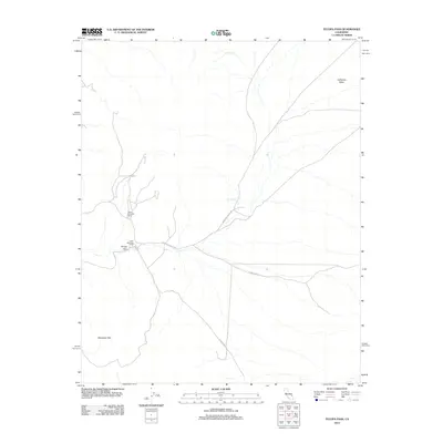
2012 Map of Tecopa Pass
USGS Topo · Published 2012About this map
Tecopa Pass serves as a central geographical marker in this high-desert region of San Bernardino County, where the landscape is defined by the broad expanse of California Valley and the rising elevations of the Alexander Hills. In the early 21st century, the area remains largely defined by its remote outpost character and legacy of desert activity, anchored by the locations of Upper Noonday Camp and Lower Noonday Camp. These sites, along with the isolated Tule Spring, suggest a history of seasonal or mining-related habitation typical of the Mojave transition. Transportation through this arid basin is facilitated by Mesquite Valley Rd and Co Hwy 20545, which trace the low-lying drainage patterns across the valley floor, connecting the camps and springs that provided essential resources in an otherwise demanding environment.
Find a feature on this map
8 named features on this map. Tap any name to fly to it.
Don’t see what you’re looking for? This feature index may not catch every label — zoom into the map to look around manually.
Map Details
Editions of this 2012 Tecopa Pass Map
This is the sole edition of this map. No revisions or reprints were ever made.
Other maps of this area

1910 · Ivanpah
USGS Topo · 1:250,000

1912 · Ivanpah
USGS Topo · 1:250,000

1933 · Avawatz Mountains
USGS Topo · 1:250,000

1942 · Ivanpah
USGS Topo · 1:250,000

1947 · Trona
USGS Topo · 1:250,000

1947 · Kingman
USGS Topo · 1:250,000

1948 · Kingman
USGS Topo · 1:250,000

1948 · Trona
USGS Topo · 1:250,000
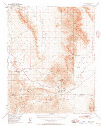
1950 · Tecopa
USGS Topo · 1:62,500
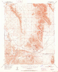
1951 · Tecopa
USGS Topo · 1:62,500