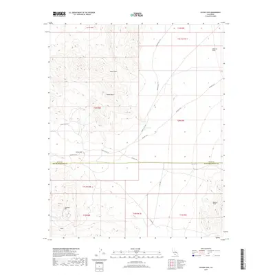
2018 Map of Tecopa Pass
USGS Topo · Published 2018About this map
The Nopah Range and Alexander Hills dominate this high-desert landscape along the border of Inyo and San Bernardino counties. This 2018 survey documents a region defined by its isolation and specialized industrial history, particularly evident in the presence of Smith Talc Rd and Western Talc Rd. These roads point to the mineral extraction history of the area, connecting remote interior basins like the California Valley to larger transport corridors.
Find a feature on this map
25 named features on this map. Tap any name to fly to it.
Don’t see what you’re looking for? This feature index may not catch every label — zoom into the map to look around manually.
Map Details
Editions of this 2018 Tecopa Pass Map
This is the sole edition of this map. No revisions or reprints were ever made.
Other maps of this area

1910 · Ivanpah
USGS Topo · 1:250,000

1912 · Ivanpah
USGS Topo · 1:250,000

1933 · Avawatz Mountains
USGS Topo · 1:250,000

1942 · Ivanpah
USGS Topo · 1:250,000

1947 · Trona
USGS Topo · 1:250,000

1947 · Kingman
USGS Topo · 1:250,000

1948 · Kingman
USGS Topo · 1:250,000

1948 · Trona
USGS Topo · 1:250,000
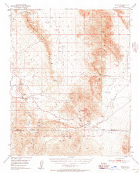
1950 · Tecopa
USGS Topo · 1:62,500
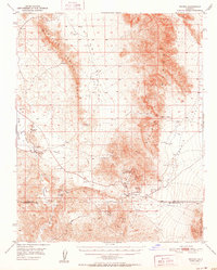
1951 · Tecopa
USGS Topo · 1:62,500