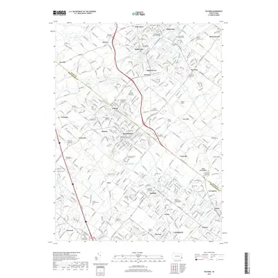
2019 Map of Telford
USGS Topo · Published 2019About this map
Souderton and Telford form the densely developed core of this northern Montgomery County landscape, where the border with Bucks County divides local communities. The area is defined by a deep concentration of early religious sites and family burial grounds, such as the Salford Schwenkfelder Cem and Franconia Mennonite Church Cem, reflecting the region’s long-standing sectarian heritage. These settlements are linked by historic corridors like Bethlehem Pike, which connects Unionville and Line Lexington through a landscape of evolving suburban density and agricultural remnants.
Find a feature on this map
395 named features on this map. Tap any name to fly to it.
Don’t see what you’re looking for? This feature index may not catch every label — zoom into the map to look around manually.
Map Details
Editions of this 2019 Telford Map
This is the sole edition of this map. No revisions or reprints were ever made.
Other maps of this area

1888 · Quakertown
USGS Topo · 1:62,500

1890 · Doylestown
USGS Topo · 1:62,500

1890 · Quakertown
USGS Topo · 1:62,500

1891 · Doylestown
USGS Topo · 1:62,500

1893 · Germantown
USGS Topo · 1:62,500

1894 · Quakertown
USGS Topo · 1:62,500

1894 · Norristown
USGS Topo · 1:62,500

1894 · Germantown
USGS Topo · 1:62,500

1895 · Norristown
USGS Topo · 1:62,500

1896 · Germantown
USGS Topo · 1:62,500