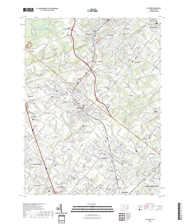
2023 Map of Telford
USGS Topo · Published 2023About this map
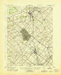
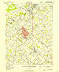
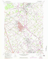
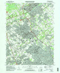
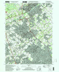
The border between BUCKS CO and MONTGOMERY CO bisects this landscape, which is defined by a dense network of early religious settlements and family-named landmarks. The area's heritage is visible through its remarkable concentration of burial sites, including the Souderton Mennonite Cem and the Rockhill Mennonite Church Cem. These features, along with specialized sites like Blooming Glen Mennonite Meetinghouse Graveyard - North, suggest a community deeply rooted in its sectarian origins even as suburban expansion from Lansdale and Souderton moves northward.
Find a feature on this map
374 named features on this map. Tap any name to fly to it.
Don’t see what you’re looking for? This feature index may not catch every label — zoom into the map to look around manually.
Map Details
Editions of this 2023 Telford Map
This is the sole edition of this map. No revisions or reprints were ever made.
Historical Maps of Almont Through Time
6 maps found