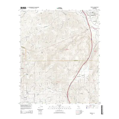
2015 Map of Temecula
USGS Topo · Published 2015About this map
The Santa Margarita River carves a deep path through the canyonlands of southern Riverside and northern San Diego counties, serving as a geographic anchor for this modern survey. The growing community of Temecula dominates the northeast, while the north-south corridor of Old Highway 395 and the modern interstate route guide the eye toward Rainbow Valley and Fallbrook to the southwest. This map illustrates the critical infrastructure of the region, specifically the San Diego Aqueduct and Second San Diego Aqueduct, which weave through the complex topography of the Peninsular Ranges.
Find a feature on this map
41 named features on this map. Tap any name to fly to it.
Don’t see what you’re looking for? This feature index may not catch every label — zoom into the map to look around manually.
Map Details
Editions of this 2015 Temecula Map
This is the sole edition of this map. No revisions or reprints were ever made.
Other maps of this area

1901 · Southern California Sheet No. 1
USGS Topo · 1:250,000

1901 · Elsinore
USGS Topo · 1:125,000

1901 · San Luis Rey
USGS Topo · 1:125,000

1904 · Southern California Sheet No. 2
USGS Topo · 1:250,000

1904 · Southern California Sheet No. 1
USGS Topo · 1:250,000

1941 · Margarita Peak
USGS Topo · 1:62,500

1942 · Lake Elsinore
USGS Topo · 1:62,500

1942 · Margarita Peak
USGS Topo · 1:62,500

1942 · Temecula
USGS Topo · 1:62,500

1942 · Murrieta
USGS Topo · 1:62,500