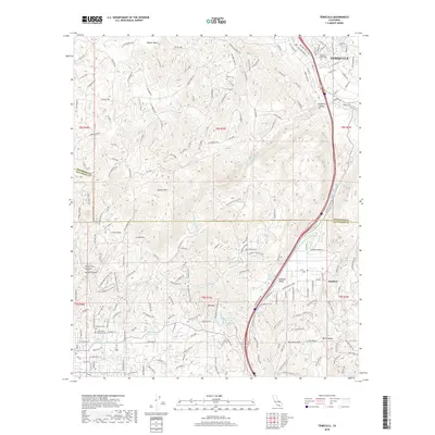
2018 Map of Temecula
USGS Topo · Published 2018About this map
The Santa Margarita River forms a critical corridor through this landscape where the high peaks of Gavilan Mtn and Monserate Mtn define the valley borders. This survey captures a moment of modern transition for the Temecula region, showing the sprawling residential and commercial development that has filled the Temecula Valley alongside long-standing infrastructure like the Second San Diego Aqueduct. Local history is anchored by the Temecula Public Cem and Masonic Cem, which sit near the intersection of the Temecula Creek and Murrieta Creek headwaters.
Find a feature on this map
58 named features on this map. Tap any name to fly to it.
Don’t see what you’re looking for? This feature index may not catch every label — zoom into the map to look around manually.
Map Details
Editions of this 2018 Temecula Map
This is the sole edition of this map. No revisions or reprints were ever made.
Other maps of this area

1901 · Southern California Sheet No. 1
USGS Topo · 1:250,000

1901 · Elsinore
USGS Topo · 1:125,000

1901 · San Luis Rey
USGS Topo · 1:125,000

1904 · Southern California Sheet No. 2
USGS Topo · 1:250,000

1904 · Southern California Sheet No. 1
USGS Topo · 1:250,000

1941 · Margarita Peak
USGS Topo · 1:62,500

1942 · Lake Elsinore
USGS Topo · 1:62,500

1942 · Margarita Peak
USGS Topo · 1:62,500

1942 · Temecula
USGS Topo · 1:62,500

1942 · Murrieta
USGS Topo · 1:62,500