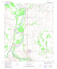
1968 Map of Terral
USGS Topo · Published 1981About this map
The Red River creates a meandering border between Oklahoma and Texas, defining the geography of this borderland in the late 1960s. The settlement of Terral serves as a central hub, featuring a concentrated grid of streets, an Athletic Field, and the Terral Cem to its east. To the west, the landscape is shaped by the confluence of major waterways including Beaver Creek and Little Pecan Creek, which feed into the river's broad floodplain. Smaller settlements such as Stanfield in Texas and Fleet in Oklahoma are connected by a network of rural roads and the regional line of the railroad.
Find a feature on this map
19 named features on this map. Tap any name to fly to it.
Don’t see what you’re looking for? This feature index may not catch every label — zoom into the map to look around manually.
Map Details
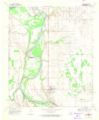
Editions of this 1968 Terral Map
2 editions found
Other maps of this area

1901 · Addington
USGS Topo · 1:125,000

1905 · Montague
USGS Topo · 1:125,000

1954 · Sherman
USGS Topo · 1:250,000

1954 · Wichita Falls
USGS Topo · 1:250,000

1955 · Lawton
USGS Topo · 1:250,000

1956 · Henrietta
USGS Topo · 1:62,500

1957 · Hastings
USGS Topo · 1:62,500

1957 · Ardmore
USGS Topo · 1:250,000

1958 · Wichita Falls
USGS Topo · 1:250,000

1958 · Sherman
USGS Topo · 1:250,000