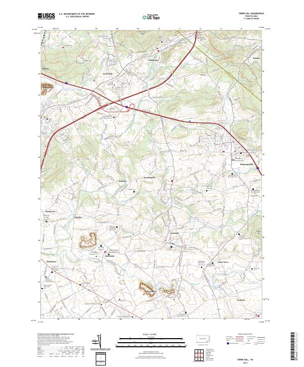
2023 Map of Terre Hill
USGS Topo · Published 2023About this map
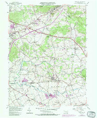
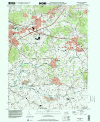
Terre Hill and the surrounding Lancaster County countryside are defined by a dense concentration of Mennonite heritage sites and small, interconnected hamlets. The landscape is deeply influenced by the winding paths of the Conestoga River and Muddy Creek, which cut through the terrain south of Adamstown Ridge. This area reflects centuries of sectarian settlement, evidenced by the numerous specialized cemeteries and meeting houses like the Muddy Creek Old Order Mennonite Cem and the Martindale Mennonite Cem.
Find a feature on this map
203 named features on this map. Tap any name to fly to it.
Don’t see what you’re looking for? This feature index may not catch every label — zoom into the map to look around manually.
Map Details
Editions of this 2023 Terre Hill Map
This is the sole edition of this map. No revisions or reprints were ever made.
Historical Maps of Ephrata Township Through Time
3 maps found