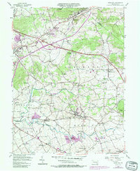
1956 Map of Terre Hill
USGS Topo · Published 1987About this map
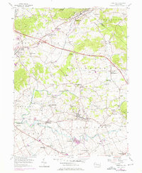
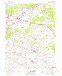
The rolling agricultural lands of northeastern Lancaster County are defined by a dense network of small villages and rural institutions. Terre Hill sits at the center of this landscape, surrounded by settlements like Bowmansville, Fivepointville, and Martindale. The mapping reveals a high concentration of community centers, from the Muddy Creek Ch and St Johns Chapel to numerous local schools such as Wide Hollow Sch and Gehmans Sch. This distribution reflects the long-established pattern of small-scale farming communities in the region.
Find a feature on this map
68 named features on this map. Tap any name to fly to it.
Don’t see what you’re looking for? This feature index may not catch every label — zoom into the map to look around manually.
Map Details
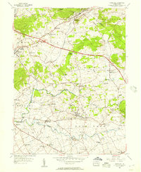
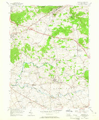
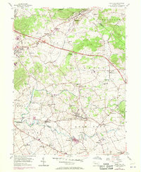
Editions of this 1956 Terre Hill Map
6 editions found
Other maps of this area

1894 · Reading
USGS Topo · 1:62,500

1902 · Wernersville
USGS Topo · 1:62,500

1905 · Honey Brook
USGS Topo · 1:62,500

1906 · New Holland
USGS Topo · 1:62,500

1907 · Honeybrook
USGS Topo · 1:62,500

1908 · New Holland
USGS Topo · 1:62,500

1913 · Reading
USGS Topo · 1:62,500

1915 · Reading
USGS Topo · 1:62,500

1941 · Honeybrook
USGS Topo · 1:62,500

1941 · New Holland
USGS Topo · 1:62,500