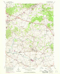
1956 Map of Terre Hill
USGS Topo · Published 1970About this map
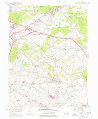
Muddy Creek and Conestoga Creek wind through this corner of Lancaster and Berks counties, defining a landscape of traditional farming settlements and small-town boroughs. The map captures the area during a period of infrastructure modernization, highlighted by the Pennsylvania Turnpike cutting across the northern half with its distinct Interchange 21. This corridor of travel runs parallel to the older Reading Division railroad and the Horseshoe Trail which follows the elevation of Adamstown Ridge.
Find a feature on this map
69 named features on this map. Tap any name to fly to it.
Don’t see what you’re looking for? This feature index may not catch every label — zoom into the map to look around manually.
Map Details
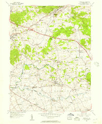
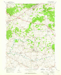
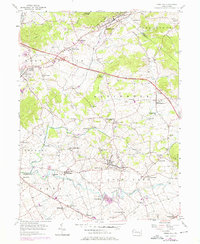
Editions of this 1956 Terre Hill Map
6 editions found
Other maps of this area

1894 · Reading
USGS Topo · 1:62,500

1902 · Wernersville
USGS Topo · 1:62,500

1905 · Honey Brook
USGS Topo · 1:62,500

1906 · New Holland
USGS Topo · 1:62,500

1907 · Honeybrook
USGS Topo · 1:62,500

1908 · New Holland
USGS Topo · 1:62,500

1913 · Reading
USGS Topo · 1:62,500

1915 · Reading
USGS Topo · 1:62,500

1941 · Honeybrook
USGS Topo · 1:62,500

1941 · New Holland
USGS Topo · 1:62,500