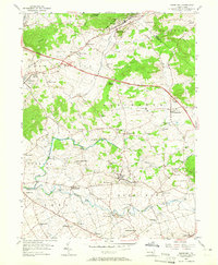
1956 Map of Terre Hill
USGS Topo · Published 1965About this map
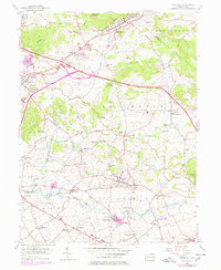
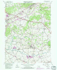
Terre Hill and its surrounding villages characterize this portion of Lancaster County in the mid-1950s. The landscape is a network of small farming settlements and crossroad hamlets such as Adamstown, Bowmansville, and Goodville. Transport patterns are defined by the contrast between local paths like the Horseshoe Trail and the modern Pennsylvania Turnpike, which cuts across the northern townships of East Cocalico and Brecknock.
Find a feature on this map
61 named features on this map. Tap any name to fly to it.
Don’t see what you’re looking for? This feature index may not catch every label — zoom into the map to look around manually.
Map Details
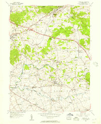
Editions of this 1956 Terre Hill Map
6 editions found
Other maps of this area

1894 · Reading
USGS Topo · 1:62,500

1902 · Wernersville
USGS Topo · 1:62,500

1905 · Honey Brook
USGS Topo · 1:62,500

1906 · New Holland
USGS Topo · 1:62,500

1907 · Honeybrook
USGS Topo · 1:62,500

1908 · New Holland
USGS Topo · 1:62,500

1913 · Reading
USGS Topo · 1:62,500

1915 · Reading
USGS Topo · 1:62,500

1941 · Honeybrook
USGS Topo · 1:62,500

1941 · New Holland
USGS Topo · 1:62,500