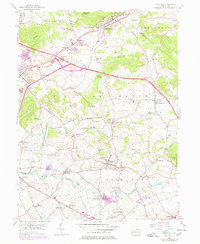
1956 Map of Terre Hill
USGS Topo · Published 1978About this map
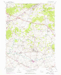
Adamstown Ridge and the Conestoga River valley define this corner of Lancaster and Berks counties, where a dense network of Pennsylvania Dutch country settlements flourished in the mid-1950s. The Pennsylvania Turnpike cuts a bold diagonal across the northern landscape, contrasting with the traditional rural life evidenced by numerous small schoolhouses and chapels. Educational landmarks like White Oak Sch and Chestnut Sch are scattered throughout the townships of Brecknock and East Cocalico, serving communities like Bowmansville and Fivepointville. This survey preserves the exact locations of many local institutions, including St Johns Chapel and Grace Chapel, during a period of transition as modern interstate travel began to reshape the mobility of these historically agricultural valleys. The mapping of Muddy Creek and its various runs shows the intricate drainage pattern that supported the area's milling and farming heritage.
Find a feature on this map
55 named features on this map. Tap any name to fly to it.
Don’t see what you’re looking for? This feature index may not catch every label — zoom into the map to look around manually.
Map Details
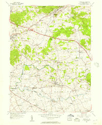
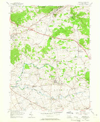
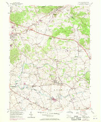
Editions of this 1956 Terre Hill Map
6 editions found
Other maps of this area

1894 · Reading
USGS Topo · 1:62,500

1902 · Wernersville
USGS Topo · 1:62,500

1905 · Honey Brook
USGS Topo · 1:62,500

1906 · New Holland
USGS Topo · 1:62,500

1907 · Honeybrook
USGS Topo · 1:62,500

1908 · New Holland
USGS Topo · 1:62,500

1913 · Reading
USGS Topo · 1:62,500

1915 · Reading
USGS Topo · 1:62,500

1941 · Honeybrook
USGS Topo · 1:62,500

1941 · New Holland
USGS Topo · 1:62,500