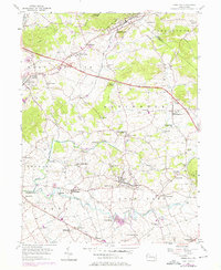
1956 Map of Terre Hill
USGS Topo · Published 1976About this map
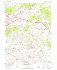
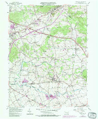
Muddy Creek and the Conestoga River anchor this mid-century view of Lancaster County, where the topography of Adamstown Ridge and Turkey Hill dictates the layout of long-established farming communities. The map captures a moment of infrastructure change, as the Pennsylvania Turnpike cuts through the townships of East Cocalico and Brecknock. The density of local institutions, including the Bible Conference Ch and numerous rural schools like Wide Hollow Sch and Chestnut Sch, reflects the closely knit social fabric of the Pennsylvania Dutch country during this period.
Find a feature on this map
55 named features on this map. Tap any name to fly to it.
Don’t see what you’re looking for? This feature index may not catch every label — zoom into the map to look around manually.
Map Details
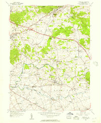
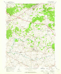
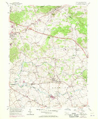
Editions of this 1956 Terre Hill Map
6 editions found
Other maps of this area

1894 · Reading
USGS Topo · 1:62,500

1902 · Wernersville
USGS Topo · 1:62,500

1905 · Honey Brook
USGS Topo · 1:62,500

1906 · New Holland
USGS Topo · 1:62,500

1907 · Honeybrook
USGS Topo · 1:62,500

1908 · New Holland
USGS Topo · 1:62,500

1913 · Reading
USGS Topo · 1:62,500

1915 · Reading
USGS Topo · 1:62,500

1941 · Honeybrook
USGS Topo · 1:62,500

1941 · New Holland
USGS Topo · 1:62,500