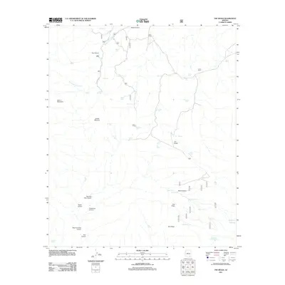
2011 Map of The Mesas
USGS Topo · Published 2011About this map
The Galiuro Mountains dominate this high-desert landscape in Cochise County, characterized by a complex network of canyons and drainage systems. Cattle ranching history is evident through isolated outposts like Wear Ranch and Larson Ranch, supported by numerous cattle tanks and catchments such as Saddle Tank and Middle Tank scattered across the high terrain. The geography is defined by deep incisions like Bear Canyon and the East Fork Bass Canyon, which carve through the land surrounding Saddle Mountain.
Find a feature on this map
59 named features on this map. Tap any name to fly to it.
Don’t see what you’re looking for? This feature index may not catch every label — zoom into the map to look around manually.
Map Details
Editions of this 2011 The Mesas Map
This is the sole edition of this map. No revisions or reprints were ever made.
Other maps of this area

1938 · Galiuro Mts
USGS Topo · 1:48,000

1940 · Sierra Bonita Ranch
USGS Topo · 1:62,500

1942 · Sierra Bonita Ranch
USGS Topo · 1:62,500

1943 · Galiuro Mts
USGS Topo · 1:62,500

1943 · Sierra Bonita Ranch
USGS Topo · 1:62,500

1943 · Winchester Mts.
USGS Topo · 1:62,500

1945 · Redington
USGS Topo · 1:62,500

1945 · Winchester Mts.
USGS Topo · 1:62,500

1956 · Tucson
USGS Topo · 1:250,000

1957 · Redington
USGS Topo · 1:62,500