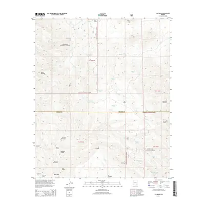
2014 Map of The Mesas
USGS Topo · Published 2014About this map
The Coronado National Forest dominates this section of the Arizona landscape, where the Galiuro Mountains and Winchester Mountains define a high-altitude wilderness. The map reveals a sophisticated network of water management essential for this arid environment, evidenced by numerous tanks like Boundary Tank, Middle Tank, and the uniquely named Bald Ridge Number One Tank. These features represent critical infrastructure for ranching and forest management in a region where surface water is seasonal.
Find a feature on this map
51 named features on this map. Tap any name to fly to it.
Don’t see what you’re looking for? This feature index may not catch every label — zoom into the map to look around manually.
Map Details
Editions of this 2014 The Mesas Map
This is the sole edition of this map. No revisions or reprints were ever made.
Other maps of this area

1938 · Galiuro Mts
USGS Topo · 1:48,000

1940 · Sierra Bonita Ranch
USGS Topo · 1:62,500

1942 · Sierra Bonita Ranch
USGS Topo · 1:62,500

1943 · Galiuro Mts
USGS Topo · 1:62,500

1943 · Sierra Bonita Ranch
USGS Topo · 1:62,500

1943 · Winchester Mts.
USGS Topo · 1:62,500

1945 · Redington
USGS Topo · 1:62,500

1945 · Winchester Mts.
USGS Topo · 1:62,500

1956 · Tucson
USGS Topo · 1:250,000

1957 · Redington
USGS Topo · 1:62,500