2022 Map of Thornton
USGS Topo · Published 2022About this map
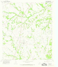
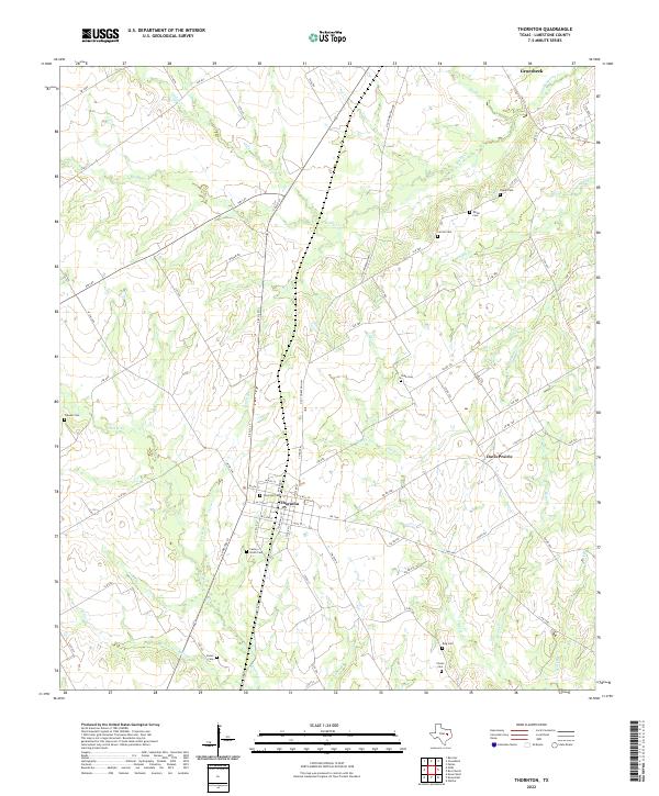
Thornton sits as the central hub of this Limestone County landscape, where the local grid of streets meets the intersection of W FM 1246 and the railroad corridor. The surrounding terrain is defined by a dense network of small waterways, including Steele Cr and Davis Cr, which once supported the agricultural life of the region. Family and community heritage is deeply rooted here, evidenced by the high density of small burial grounds such as Pippin Cem, Carroll Cem, and Cobb Cem scattered across the countryside. To the east, the rural settlement of Davis Prairie marks an area where the open landscape transitions toward the winding path of Montgomery Cr. The map captures the enduring rural character of the Texas post-oak savannah, showing a territory still largely organized around its original homesteads and small-town foundations.
Find a feature on this map
86 named features on this map. Tap any name to fly to it.
Don’t see what you’re looking for? This feature index may not catch every label — zoom into the map to look around manually.
Map Details
Editions of this 2022 Thornton Map
This is the sole edition of this map. No revisions or reprints were ever made.