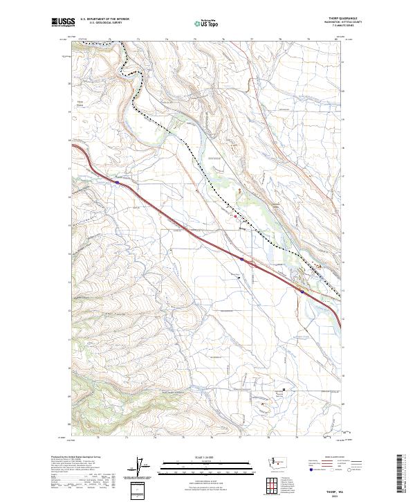
2023 Map of Thorp
USGS Topo · Published 2023About this map
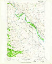
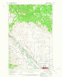
The settlement of Thorp serves as the focal point of this Kittitas County landscape, where the Yakima River winds through a complex network of agricultural irrigation systems. The map details an intricate web of water management essential to the Kittitas Valley, including the North Branch Canal, West Side Canal, and the Taneum Ditch. These man-made waterways follow the natural contours of the land, supporting farms situated between the elevated Thorp Prairie and the deep incisions of Robinson Canyon and Taneum Canyon.
Find a feature on this map
74 named features on this map. Tap any name to fly to it.
Don’t see what you’re looking for? This feature index may not catch every label — zoom into the map to look around manually.
Map Details
Editions of this 2023 Thorp Map
This is the sole edition of this map. No revisions or reprints were ever made.