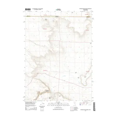
2015 Map of Thousand Creek Gorge
USGS Topo · Published 2015About this map
The high desert landscape along the Nevada and Oregon border defines this corner of Humboldt County, dominated by the prominent volcanic elevations of the Idaho Canyon Range and the basalt plateau of Big Spring Table. A striking geologic break is formed by the Thousand Creek Gorge, where Thousand Cr cuts through the terrain. Human navigation in this remote basin is marked by the Dufurrena Grade, a road winding through the topography that connects scattered landmarks like Jackass Flat and Railroad Point. The map provides a detailed view of the high-altitude drainages and escarpments, including the northern slopes of McGhee Mtn and the isolated summit of Twin Peak, illustrating the complex drainage patterns of the Long Draw near the state line.
Find a feature on this map
18 named features on this map. Tap any name to fly to it.
Don’t see what you’re looking for? This feature index may not catch every label — zoom into the map to look around manually.
Map Details
Editions of this 2015 Thousand Creek Gorge Map
This is the sole edition of this map. No revisions or reprints were ever made.
Other maps of this area

1886 · Disaster
USGS Topo · 1:250,000

1889 · Long Valley
USGS Topo · 1:250,000

1893 · Disaster
USGS Topo · 1:250,000

1954 · Vya
USGS Topo · 1:250,000

1955 · Adel
USGS Topo · 1:250,000

1957 · Adel
USGS Topo · 1:250,000

1958 · Vya
USGS Topo · 1:250,000

1958 · Adel
USGS Topo · 1:250,000

1962 · Vya
USGS Topo · 1:250,000

1962 · Adel
USGS Topo · 1:250,000