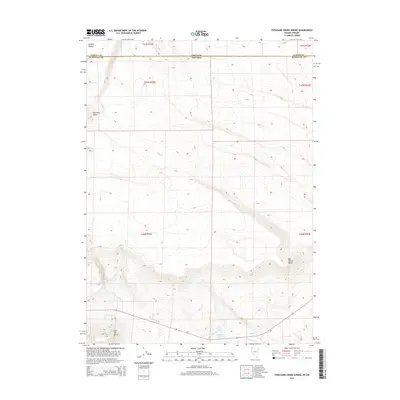
2015 Map of Thousand Creek Spring
USGS Topo · Published 2015About this map
Thousand Creek Spring sits at the heart of this high-desert landscape where the border of Nevada and Oregon meets. This region is characterized by stark landforms and vital water sources that dictate the movement of people and wildlife across the arid basin. Notable elevations such as Boundary Butte and the distinctive Flat Top Butte provide landmarks above the drainage systems of Big Spring Cr and Thousand Cr. The map details the intricate contours of Big Spring Table and the uniquely named Hawksy Walksy in the northern reaches. These features reflect a remote environment where survival and travel have historically relied on the scattered springs and creek beds that cut through the volcanic terrain of Humboldt County.
Find a feature on this map
15 named features on this map. Tap any name to fly to it.
Don’t see what you’re looking for? This feature index may not catch every label — zoom into the map to look around manually.
Map Details
Editions of this 2015 Thousand Creek Spring Map
This is the sole edition of this map. No revisions or reprints were ever made.
Other maps of this area

1886 · Disaster
USGS Topo · 1:250,000

1889 · Long Valley
USGS Topo · 1:250,000

1893 · Disaster
USGS Topo · 1:250,000

1954 · Vya
USGS Topo · 1:250,000

1955 · Adel
USGS Topo · 1:250,000

1957 · Adel
USGS Topo · 1:250,000

1958 · Vya
USGS Topo · 1:250,000

1958 · Adel
USGS Topo · 1:250,000

1962 · Vya
USGS Topo · 1:250,000

1962 · Adel
USGS Topo · 1:250,000