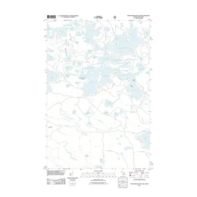
2011 Map of Thousand Island Lake
USGS Topo · Published 2011About this map
Cisco Lake and Thousand Island Lake dominate this 2011 survey, illustrating the complex glacial hydrography along the Michigan-Wisconsin border. The intricate network of interconnected waterways, including Lindsley Lake, Fishhawk Lake, and West Bay Lake, shows a landscape defined by water and recreational access. Notable shore features such as Meadowwoods Point, Indian Point, and Belle Island suggest a long history of seasonal habitation and navigation.
Find a feature on this map
90 named features on this map. Tap any name to fly to it.
Don’t see what you’re looking for? This feature index may not catch every label — zoom into the map to look around manually.
Map Details
Editions of this 2011 Thousand Island Lake Map
This is the sole edition of this map. No revisions or reprints were ever made.
Other maps of this area

1939 · Trout Lake
USGS Topo · 1:48,000

1946 · Star Lake
USGS Topo · 1:48,000

1946 · Trout Lake
USGS Topo · 1:48,000

1949 · Trout Lake
USGS Topo · 1:48,000

1950 · Star Lake
USGS Topo · 1:48,000

1952 · Thayer
USGS Topo · 1:62,500

1955 · Marenisco
USGS Topo · 1:62,500

1955 · Starlake
USGS Topo · 1:62,500

1955 · Boulder Junction
USGS Topo · 1:62,500

1958 · Iron River
USGS Topo · 1:250,000