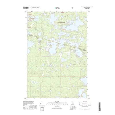
2019 Map of Thousand Island Lake
USGS Topo · Published 2019About this map
Ottawa National Forest spans the interstate boundary between Michigan and Wisconsin, centering on a dense network of glacial lakes and wetlands. The landscape is defined by the massive Cisco Lake and the eponymous Thousand Island Lake, where complex shorelines are dotted with features like Meadowwoods Point and Belle Island. The intricate waterway connections, including Helen Creek and numerous smaller basins like Fishhawk Lake and Lindsley Lake, reveal a region shaped by outdoor recreation and forest management. Small forest roads such as White Spruce Fire Ln and Old B Rd provide access to these remote waters, while Co Hwy B serves as a primary east-west artery through the township. The boundary between Gogebic Co and Vilas Co bisects several water bodies, illustrating the jurisdictional divide across this shared wilderness.
Find a feature on this map
100 named features on this map. Tap any name to fly to it.
Don’t see what you’re looking for? This feature index may not catch every label — zoom into the map to look around manually.
Map Details
Editions of this 2019 Thousand Island Lake Map
This is the sole edition of this map. No revisions or reprints were ever made.
Other maps of this area

1939 · Trout Lake
USGS Topo · 1:48,000

1946 · Star Lake
USGS Topo · 1:48,000

1946 · Trout Lake
USGS Topo · 1:48,000

1949 · Trout Lake
USGS Topo · 1:48,000

1950 · Star Lake
USGS Topo · 1:48,000

1952 · Thayer
USGS Topo · 1:62,500

1955 · Marenisco
USGS Topo · 1:62,500

1955 · Starlake
USGS Topo · 1:62,500

1955 · Boulder Junction
USGS Topo · 1:62,500

1958 · Iron River
USGS Topo · 1:250,000