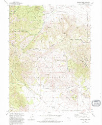
1993 Map of Tickville Spring
USGS Topo · Published 1993About this map
Camp Williams State Military Reservation dominates the central and southern portions of this landscape, where the Traverse Mountains meet the northern edge of the Cedar Valley. This terrain is defined by its transition from the steep, high ridges of the Oquirrh Mountains down to the open alluvial flats of Drill Hole Wash. Evidence of industrial activity and water management is visible in the northwest corner, notably the Butterfield Tunnel and scattered Prospect sites near Yellow Fork Canyon.
Find a feature on this map
42 named features on this map. Tap any name to fly to it.
Don’t see what you’re looking for? This feature index may not catch every label — zoom into the map to look around manually.
Map Details
Editions of this 1993 Tickville Spring Map
2 editions found
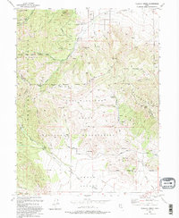
Other maps of this area

1885 · Salt Lake
USGS Topo · 1:250,000

1885 · Tooele Valley
USGS Topo · 1:250,000

1915 · Fairfield
USGS Topo · 1:62,500

1917 · Fairfield
USGS Topo · 1:62,500

1925 · Ft. Douglas
USGS Topo · 1:125,000

1928 · Ft. Douglas
USGS Topo · 1:125,000

1951 · Jordan Narrows
USGS Topo · 1:24,000
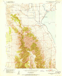
1951 · Saratoga Springs
USGS Topo · 1:24,000

1951 · Midvale
USGS Topo · 1:24,000

1952 · Bingham Canyon
USGS Topo · 1:24,000