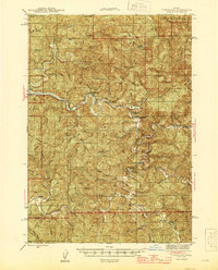
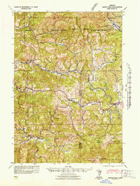
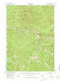
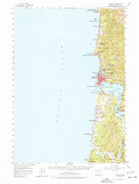
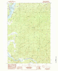
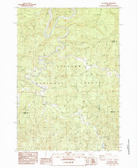
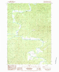
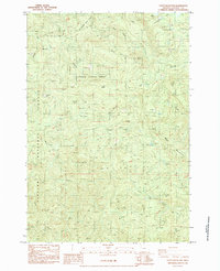
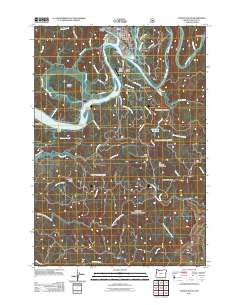
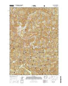
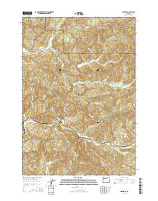
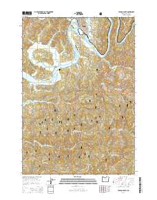
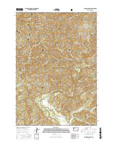
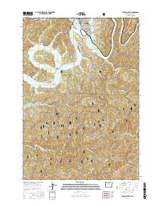
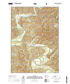
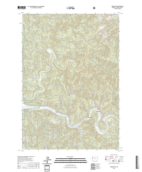
1942 Map of Tidewater
USGS Topo · Published 1945About this map
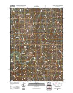
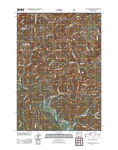
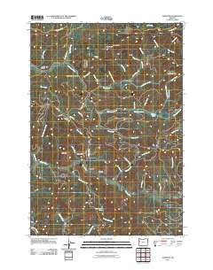
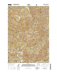
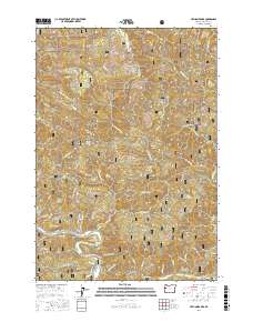
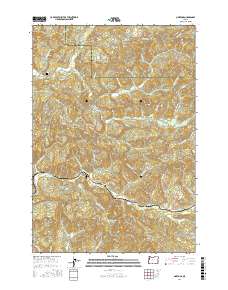
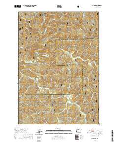
Tidewater sits at a strategic bend of the Alsea River, serving as the primary human settlement in a landscape dominated by the Siuslaw National Forest. The 1940s terrain is marked by a network of drainage systems including Drift Creek and Lobster Creek, which carve through prominent heights such as Cannibal Mtn and Table Mtn. A series of forest shelters, including Fivemile Shelter and Klickitat Shelter, are positioned along the interior trails, reflecting the early mid-century infrastructure for forest management and recreation.
Find a feature on this map
64 named features on this map. Tap any name to fly to it.
Don’t see what you’re looking for? This feature index may not catch every label — zoom into the map to look around manually.
Map Details
Editions of this 1942 Tidewater Map
This is the sole edition of this map. No revisions or reprints were ever made.
Historical Maps of Paris Through Time
118 maps found
1939 Marys Peak
Lincoln County, OR
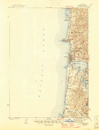
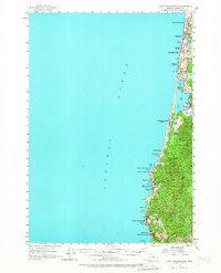
1941 Cape Foulweather
Lincoln County, OR
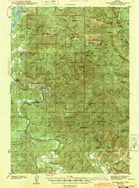
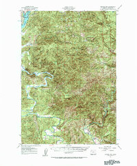
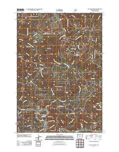
1942 Euchre Mtn
Lincoln County, OR
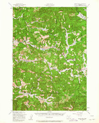
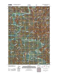
1942 Marys Peak
Lincoln County, OR
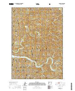
1942 Tidewater
Lincoln County, OR
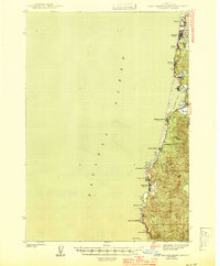
1942 Yaquina
Lincoln County, OR
1943 Euchre Mtn
Lincoln County, OR
1944 Cape Foulweather
Lincoln County, OR
1956 Tidewater
Lincoln County, OR
1957 Cape Foulweather
Lincoln County, OR
1957 Euchre Mtn
Lincoln County, OR
1957 Marys Peak
Lincoln County, OR
1957 Yaquina
Lincoln County, OR
1975 Yaquina NE
Lincoln County, OR
1975 Yaquina SE
Lincoln County, OR
1984 Cannibal Mtn
Lincoln County, OR
1984 Devils Lake
Lincoln County, OR
1984 Eddyville
Lincoln County, OR
1984 Elk City
Lincoln County, OR
1984 Euchre Mtn
Lincoln County, OR
1984 Five Rivers
Lincoln County, OR
1984 Grass Mtn
Lincoln County, OR
1984 Harlan
Lincoln County, OR
1984 Hellion Rapids
Lincoln County, OR
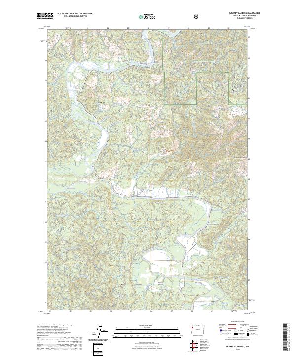
1984 Mowrey Landing
Lincoln County, OR
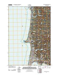
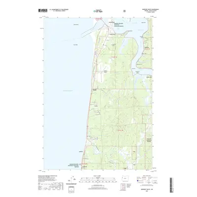
1984 Newport North
Lincoln County, OR
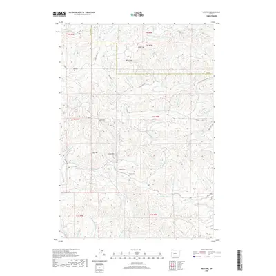
1984 Newport South
Lincoln County, OR
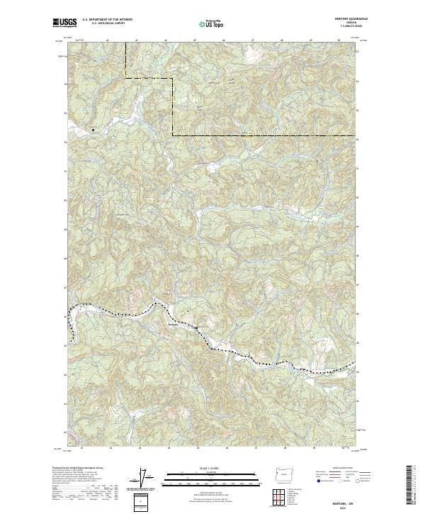
1984 Nortons
Lincoln County, OR
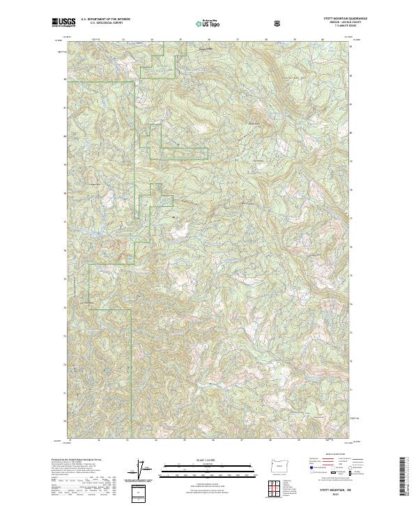
1984 Stott Mountain
Lincoln County, OR
1984 Tidewater
Lincoln County, OR
1984 Toledo North
Lincoln County, OR
1984 Toledo South
Lincoln County, OR
2011 Cannibal Mountain
Lincoln County, OR
2011 Devils Lake
Lincoln County, OR
2011 Eddyville
Lincoln County, OR
2011 Elk City
Lincoln County, OR
2011 Euchre Mountain
Lincoln County, OR
2011 Five Rivers
Lincoln County, OR
2011 Grass Mountain
Lincoln County, OR
2011 Harlan
Lincoln County, OR
2011 Hellion Rapids
Lincoln County, OR
2011 Mowrey Landing
Lincoln County, OR
2011 Newport North
Lincoln County, OR
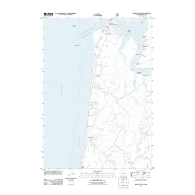
2011 Newport South
Lincoln County, OR
2011 Nortons
Lincoln County, OR
2011 Stott Mountain
Lincoln County, OR
2011 Tidewater
Lincoln County, OR
2011 Toledo North
Lincoln County, OR
2011 Toledo South
Lincoln County, OR
2014 Cannibal Mountain
Lincoln County, OR
2014 Devils Lake
Lincoln County, OR
2014 Eddyville
Lincoln County, OR
2014 Elk City
Lincoln County, OR
2014 Euchre Mountain
Lincoln County, OR
2014 Five Rivers
Lincoln County, OR
2014 Grass Mountain
Lincoln County, OR

2014 Harlan
Lincoln County, OR
2014 Hellion Rapids
Lincoln County, OR
2014 Mowrey Landing
Lincoln County, OR
2014 Newport North
Lincoln County, OR
2014 Newport South
Lincoln County, OR
2014 Nortons
Lincoln County, OR
2014 Stott Mountain
Lincoln County, OR
2014 Tidewater
Lincoln County, OR
2014 Toledo North
Lincoln County, OR
2014 Toledo South
Lincoln County, OR

2017 Cannibal Mountain
Lincoln County, OR
2017 Devils Lake
Lincoln County, OR
2017 Eddyville
Lincoln County, OR
2017 Elk City
Lincoln County, OR
2017 Euchre Mountain
Lincoln County, OR
2017 Five Rivers
Lincoln County, OR
2017 Grass Mountain
Lincoln County, OR
2017 Harlan
Lincoln County, OR
2017 Hellion Rapids
Lincoln County, OR
2017 Mowrey Landing
Lincoln County, OR
2017 Newport North
Lincoln County, OR
2017 Newport South
Lincoln County, OR
2017 Nortons
Lincoln County, OR
2017 Stott Mountain
Lincoln County, OR
2017 Tidewater
Lincoln County, OR
2017 Toledo North
Lincoln County, OR
2017 Toledo South
Lincoln County, OR
2020 Cannibal Mountain
Lincoln County, OR
2020 Devils Lake
Lincoln County, OR
2020 Eddyville
Lincoln County, OR
2020 Elk City
Lincoln County, OR
2020 Euchre Mountain
Lincoln County, OR
2020 Five Rivers
Lincoln County, OR
2020 Grass Mountain
Lincoln County, OR
2020 Harlan
Lincoln County, OR
2020 Hellion Rapids
Lincoln County, OR
2020 Mowrey Landing
Lincoln County, OR
2020 Newport North
Lincoln County, OR
2020 Newport South
Lincoln County, OR
2020 Nortons
Lincoln County, OR
2020 Stott Mountain
Lincoln County, OR
2020 Tidewater
Lincoln County, OR
2020 Toledo North
Lincoln County, OR
2020 Toledo South
Lincoln County, OR
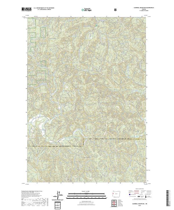
2023 Cannibal Mountain
Lincoln County, OR

2023 Eddyville
Lincoln County, OR
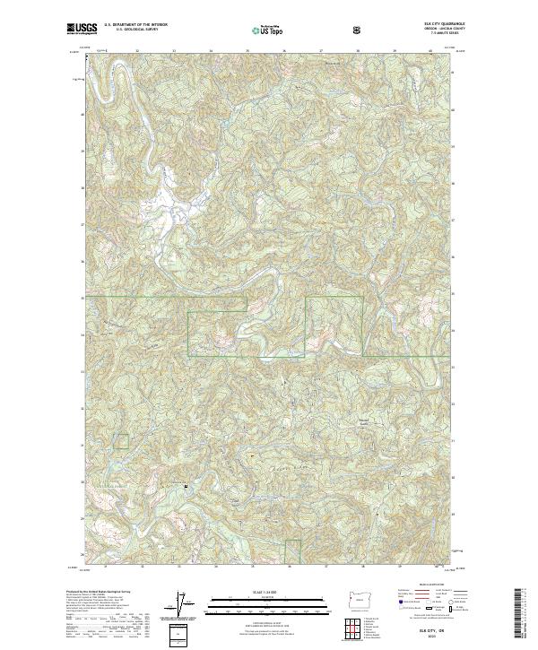
2023 Elk City
Lincoln County, OR
2023 Euchre Mountain
Lincoln County, OR
2023 Five Rivers
Lincoln County, OR
2023 Harlan
Lincoln County, OR
2023 Hellion Rapids
Lincoln County, OR
2023 Mowrey Landing
Lincoln County, OR
2023 Nortons
Lincoln County, OR
2023 Stott Mountain
Lincoln County, OR
2023 Tidewater
Lincoln County, OR
2023 Toledo South
Lincoln County, OR
2024 Devils Lake
Lincoln County, OR
2024 Grass Mountain
Lincoln County, OR
2024 Newport North
Lincoln County, OR
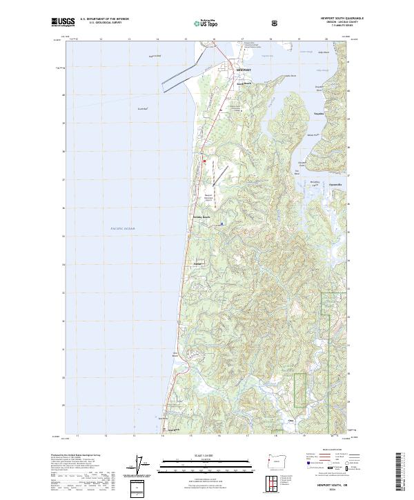
2024 Newport South
Lincoln County, OR

2024 Tidewater
Lincoln County, OR
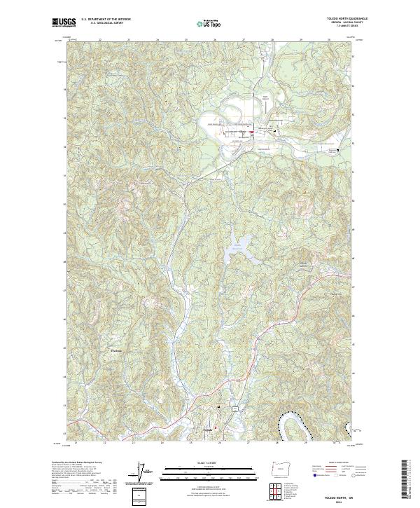
2024 Toledo North
Lincoln County, OR