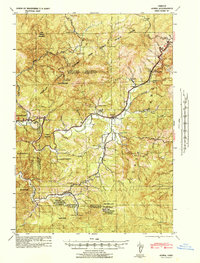
1942 Map of Alsea
USGS Topo · Published 1942About this map
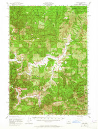
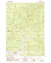
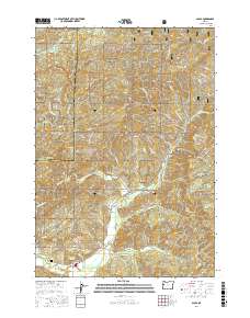
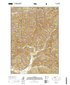
Alsea sits at the heart of this World War II-era military tactical map, surrounded by the heavy timber of the Siuslaw National Forest. The landscape is defined by the drainage basins of the North Fork and South Fork Alsea Rivers, where the economy of the early 1940s is clearly visible through labels for the Alsea Lumber Co and the 3 M Logging Company. This survey illustrates a rural mountain community deeply tied to its natural resources, featuring the State Fish Hatchery and several localized educational centers such as Fall Creek Sch and Missouri Bend Sch. High-altitude surveillance points like Lookout Alsea Peak and West Tree Lookout stand watch over the Coast Range, while numerous family-named properties like Sharps Ranch and the Boots and Saddle Ranch dot the valley floors along Lobster Creek.
Find a feature on this map
62 named features on this map. Tap any name to fly to it.
Don’t see what you’re looking for? This feature index may not catch every label — zoom into the map to look around manually.
Map Details
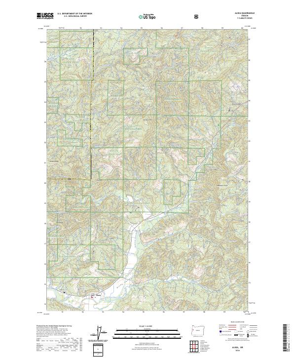
Editions of this 1942 Alsea Map
This is the sole edition of this map. No revisions or reprints were ever made.
Historical Maps of Alsea Through Time
8 maps found