
1921 Map of Corvallis
USGS Topo · Published 1921About this map
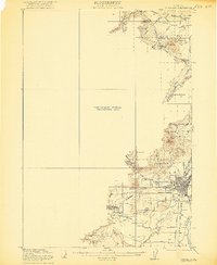
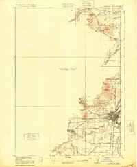
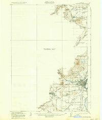
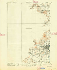
Corvallis and the Oregon Agricultural College anchor this partial 1921 survey, which depicts the development of the Willamette Valley before the full quadrangle was completed. The landscape is defined by the winding courses of the Marys River and Muddy Creek, leading toward the Boonesville Channel and Kiger Island in the east. This early twentieth-century snapshot shows a rural economy supported by the Southern Pacific railroad, connecting smaller communities like Philomath, Avery, and Pheasant.
Find a feature on this map
35 named features on this map. Tap any name to fly to it.
Don’t see what you’re looking for? This feature index may not catch every label — zoom into the map to look around manually.
Map Details
Editions of this 1921 Corvallis Map
5 editions found
Other maps of this area

1911 · Inavale
USGS Topo · 1:31,680

1912 · Halsey
USGS Topo · 1:62,500

1913 · Philomath
USGS Topo · 1:31,680

1913 · Oakville
USGS Topo · 1:31,680

1913 · Wells
USGS Topo · 1:31,680

1914 · Independence
USGS Topo · 1:31,680

1914 · Soap Creek
USGS Topo · 1:31,680

1916 · Albany
USGS Topo · 1:62,500

1917 · Salem
USGS Topo · 1:62,500

1922 · Monroe
USGS Topo · 1:62,500