1913 Map of Philomath
USGS Topo · Published 1913About this map
Oregon Agricultural College anchors the landscape just west of Corvallis, illustrating the early 20th-century development of this Willamette Valley education and transportation hub. The survey captures a complex intersection of early rail systems, including the Southern Pacific (West Side), the Corvallis and Eastern, and the Portland and Eugene and Eastern. This rail density highlights the region's importance as a distribution center for the surrounding agricultural and timber lands.
Find a feature on this map
19 named features on this map. Tap any name to fly to it.
Don’t see what you’re looking for? This feature index may not catch every label — zoom into the map to look around manually.
Map Details
Editions of this 1913 Philomath Map
This is the sole edition of this map. No revisions or reprints were ever made.
Other maps of this area
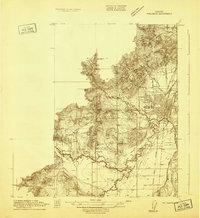
1911 · Inavale
USGS Topo · 1:31,680

1912 · Halsey
USGS Topo · 1:62,500

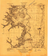
1913 · Oakville
USGS Topo · 1:31,680

1913 · Wells
USGS Topo · 1:31,680

1914 · Soap Creek
USGS Topo · 1:31,680

1916 · Albany
USGS Topo · 1:62,500

1921 · Corvallis
USGS Topo · 1:62,500

1922 · Monroe
USGS Topo · 1:62,500
1939 · Monroe
USGS Topo · 1:62,500
1941 · Halsey
USGS Topo · 1:62,500