
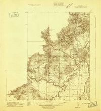
1914 Map of Soap Creek
USGS Topo · Published 1914About this map
Savage School and Soap Creek School anchor this 1914 topographic survey of the hills and drainage basins along the Polk Co Benton Co Boundary Line. The landscape is defined by the winding course of Soap Creek and its many tributaries, including Peterson Creek and Staats Creek, which flow through a region of prominent elevations like Oak Hill and Smith Hill. This detailed mapping reveals a rural infrastructure built around local education and early transit routes, such as the Airlie-Suver Road and the Umpqua Valley Road. The inclusion of Sulphur Springs in the southern portion of the sheet points to the localized importance of mineral springs in early Oregon settlement patterns, while the distribution of rural schoolhouses like Airlie School and Mountain View School illustrates the dispersed nature of the community at the time.
Find a feature on this map
17 named features on this map. Tap any name to fly to it.
Don’t see what you’re looking for? This feature index may not catch every label — zoom into the map to look around manually.
Map Details
Editions of this 1914 Soap Creek Map
This is the sole edition of this map. No revisions or reprints were ever made.
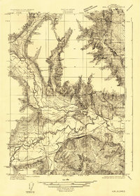
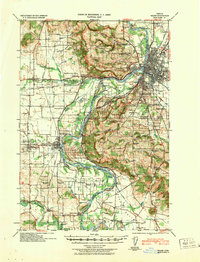
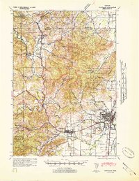
Other maps of this area
1913 · Philomath
USGS Topo · 1:31,680

1913 · Oakville
USGS Topo · 1:31,680

1913 · Wells
USGS Topo · 1:31,680

1914 · Independence
USGS Topo · 1:31,680

1916 · Albany
USGS Topo · 1:62,500

1917 · Salem
USGS Topo · 1:62,500

1921 · Corvallis
USGS Topo · 1:62,500
1922 · Airlie
USGS Topo · 1:31,680
1940 · Salem
USGS Topo · 1:62,500
1942 · Corvallis
USGS Topo · 1:62,500