
1942 Map of Corvallis
USGS Topo · Published 1942About this map
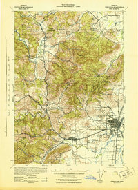
Oregon State College and the surrounding valley lands of Benton County anchor this 1942 tactical survey. The landscape is defined by the transition from the dense timber of McDonald Forest and the Marys Siuslaw National Purchase Forest to the agricultural reaches of the Marys River and Muddy Creek. Notable for its educational and forestry focus, the map identifies the OSC School of Forestry and numerous rural schoolhouses such as the Alexander School and Kings Valley School, alongside the Wren Guard Station.
Find a feature on this map
54 named features on this map. Tap any name to fly to it.
Don’t see what you’re looking for? This feature index may not catch every label — zoom into the map to look around manually.
Map Details
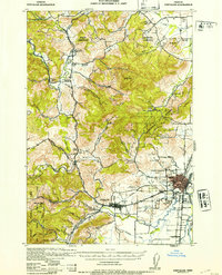
Editions of this 1942 Corvallis Map
3 editions found
Other maps of this area

1911 · Inavale
USGS Topo · 1:31,680

1912 · Halsey
USGS Topo · 1:62,500

1913 · Philomath
USGS Topo · 1:31,680

1913 · Oakville
USGS Topo · 1:31,680

1913 · Wells
USGS Topo · 1:31,680

1914 · Independence
USGS Topo · 1:31,680

1914 · Soap Creek
USGS Topo · 1:31,680

1916 · Albany
USGS Topo · 1:62,500

1917 · Salem
USGS Topo · 1:62,500

1921 · Corvallis
USGS Topo · 1:62,500