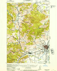
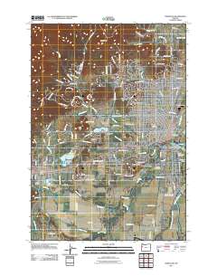
1942 Map of Corvallis
USGS Topo · Published 1953About this map
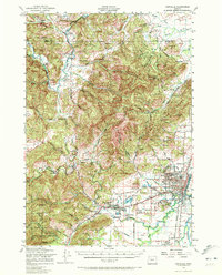
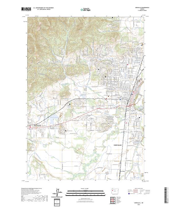
Oregon State College anchors the growing city of Corvallis in this wartime-era survey, which shows a landscape defined by its timber and academic heritage. The northern reaches of the Siuslaw National Forest and the McDonald Forest dominate the hilly terrain, supported by the School of Forestry and numerous sawmills scattered near Alexander Sch and Wren. The map traces the winding Luckiamute River and Marys River, which carved the valleys where early settlements like Kings Valley and Hoskins—site of the historic Fort Hoskins—were established.
Find a feature on this map
67 named features on this map. Tap any name to fly to it.
Don’t see what you’re looking for? This feature index may not catch every label — zoom into the map to look around manually.
Map Details
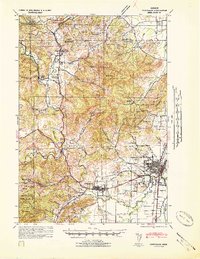
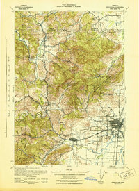
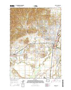
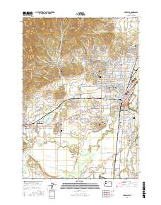
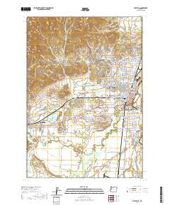
Editions of this 1942 Corvallis Map
3 editions found
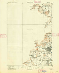
Historical Maps of Corvallis Through Time
12 maps found
1921 Corvallis
Benton County, OR
1942 Corvallis
Benton County, OR
1956 Corvallis
Benton County, OR
1969 Corvallis
Benton County, OR
1975 Corvallis
Benton County, OR
1980 Corvallis
Benton County, OR
2011 Corvallis
Benton County, OR
2014 Corvallis
Benton County, OR
2017 Corvallis
Benton County, OR
2020 Corvallis
Benton County, OR

2023 Corvallis
Benton County, OR
2024 Corvallis
Benton County, OR