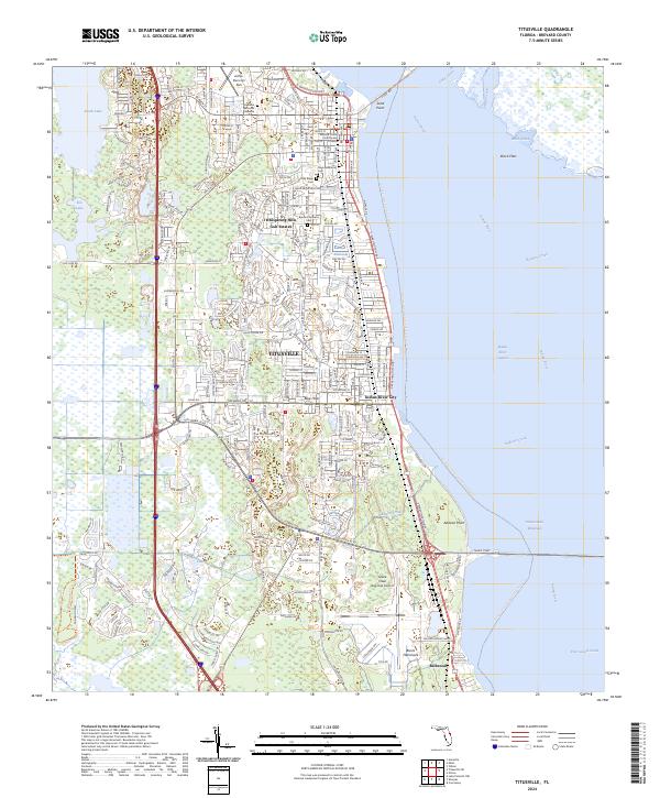
2024 Map of Titusville
USGS Topo · Published 2024About this map
Titusville serves as a major hub on the western shore of the Indian River, balancing urban development with expansive wildlife protections. The map details a landscape deeply connected to aerospace and regional history, featuring the Space Coast Regional Airport and the Brevard County Courthouse in the heart of the city. Settlement patterns extend south through Indian River City and Bellwood, while the western edge is defined by the wetlands of the Saint Johns National Wildlife Refuge.
Find a feature on this map
37 named features on this map. Tap any name to fly to it.
Don’t see what you’re looking for? This feature index may not catch every label — zoom into the map to look around manually.
Map Details
Editions of this 2024 Titusville Map
This is the sole edition of this map. No revisions or reprints were ever made.
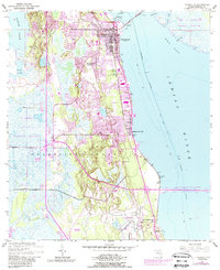
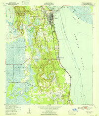
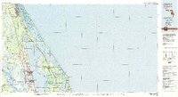
Historical Maps of Indian River City Through Time
4 maps found
Featured Locations
- Bellwood, FL
- South Titusville, FL
- Titusville, FL
- Indian River City, Titusville
- Whispering Hills Golf Estates, Titusville