Loading...
Loading map...2023 Map of Tolar
USGS Topo · Published 2023About this map
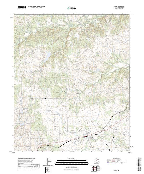
Tolar serves as the central hub of this modern survey, where the settlement’s residential grid meets the highway and rail corridors of Hood County. The surrounding landscape is defined by a dense network of watercourses and family-named landmarks that reflect generations of rural Texan history. Notable burials are preserved at several sites, including the Tolar Cem and Strouds Creek Cem, while smaller family plots like Martin Cem and Antioch Cem remain situated among the hills.
Find a feature on this map
54 named features on this map. Tap any name to fly to it.
Don’t see what you’re looking for? This feature index may not catch every label — zoom into the map to look around manually.
Map Details
Date Portrayed2023
Date Published2023
PublisherU.S. Geological Survey
Map TypeTopographic
Scale1:24000
Physical Dimensions24 x 29 inches
Editions of this 2023 Tolar Map
This is the sole edition of this map. No revisions or reprints were ever made.
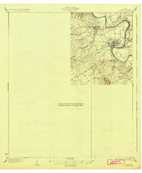
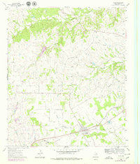
Historical Maps of Tolar Through Time
Featured Locations
Source Details
SourceU.S. Geological Survey
CopyrightPublic Domain