Loading...
Loading map...2021 Map of Tolleson
USGS Topo · Published 2021About this map
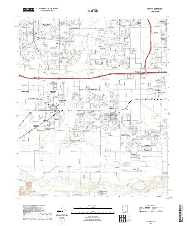
Monument Hill stands as a focal point in this 2021 landscape where the Gila River and Salt River converge. This survey documents the modern suburban expansion of the West Valley, showing the dense residential grids of Tolleson, Avondale, and Goodyear as they press against traditional agricultural and industrial corridors. The presence of the Initial Point near the river confluence marks the fundamental surveying origin for much of Arizona's land divisions.
Find a feature on this map
51 named features on this map. Tap any name to fly to it.
Don’t see what you’re looking for? This feature index may not catch every label — zoom into the map to look around manually.
Map Details
Date Portrayed2021
Date Published2021
PublisherU.S. Geological Survey
Map TypeTopographic
Scale1:24000
Physical Dimensions24 x 29 inches
Editions of this 2021 Tolleson Map
This is the sole edition of this map. No revisions or reprints were ever made.
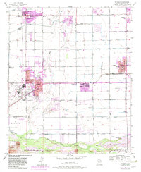
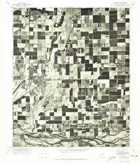
Historical Maps of Phoenix Through Time
3 maps found
Featured Locations
Source Details
SourceU.S. Geological Survey
CopyrightPublic Domain