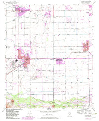
1957 Map of Tolleson
USGS Topo · Published 1983About this map
Litchfield Park and the agricultural lands west of Phoenix anchor this topographic study, which captures the region during a period of significant suburban expansion. The 1982 revisions, shown in purple, illustrate the outward growth of Avondale and Goodyear as they began to transform the desert landscape. To the east, the traditional grid of Tolleson remains a focal point near the community of Cashion.
Find a feature on this map
10 named features on this map. Tap any name to fly to it.
Don’t see what you’re looking for? This feature index may not catch every label — zoom into the map to look around manually.
Map Details
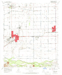
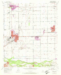
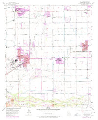
Editions of this 1957 Tolleson Map
5 editions found

Other maps of this area

1912 · Phoenix
USGS Topo · 1:62,500

1914 · Phoenix
USGS Topo · 1:62,500

1946 · Avondale
USGS Topo · 1:62,500

1948 · Cashion
USGS Topo · 1:62,500

1952 · Laveen
USGS Topo · 1:24,000

1952 · Fowler
USGS Topo · 1:24,000

1952 · Phoenix
USGS Topo · 1:62,500

1954 · Phoenix
USGS Topo · 1:250,000

1957 · Phoenix
USGS Topo · 1:250,000

1957 · Perryville
USGS Topo · 1:24,000