
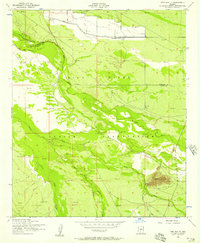
1952 Map of Laveen
USGS Topo · Published 1957About this map
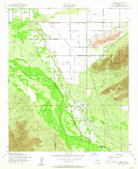
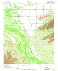
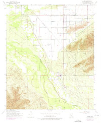
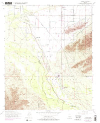
The Gila River Indian Reservation occupies the heart of this landscape, where the confluence of the Gila River and the Santa Cruz River creates a wide alluvial plain. Small tribal settlements and cooperative farming communities are dispersed across the valley floor, including Maricopa Village and Komatke. The agricultural character of the era is evidenced by the extensive Western Canal and various Ditch systems that divert water across the flats north of the Sierra Estrella.
Find a feature on this map
27 named features on this map. Tap any name to fly to it.
Don’t see what you’re looking for? This feature index may not catch every label — zoom into the map to look around manually.
Map Details
Editions of this 1952 Laveen Map
5 editions found
Other maps of this area

1912 · Phoenix
USGS Topo · 1:62,500

1913 · Maricopa
USGS Topo · 1:62,500

1914 · Phoenix
USGS Topo · 1:62,500

1915 · Maricopa
USGS Topo · 1:62,500

1946 · Avondale
USGS Topo · 1:62,500

1948 · Cashion
USGS Topo · 1:62,500

1951 · Mobile
USGS Topo · 1:62,500

1952 · Lone Butte
USGS Topo · 1:24,000
1952 · Pima Butte
USGS Topo · 1:24,000

1952 · Phoenix
USGS Topo · 1:24,000