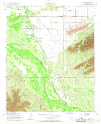
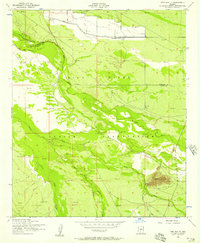
1952 Map of Laveen
USGS Topo · Published 1968About this map
The Gila River Indian Reservation dominates this mid-century landscape, capturing the convergence of the Gila River and the Santa Cruz River south of Phoenix. The map provides a detailed record of tribal and agricultural settlements including Maricopa Village, Co-op Village, and Komatke. Educational and community life is centered at the St Johns Indian Sch and Gila Crossing, while local history is preserved through the locations of the Maricopa Cem and Co-op Village Cemetery.
Find a feature on this map
23 named features on this map. Tap any name to fly to it.
Don’t see what you’re looking for? This feature index may not catch every label — zoom into the map to look around manually.
Map Details
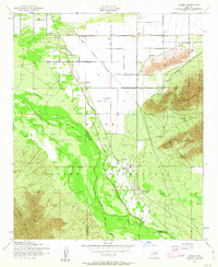
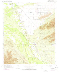
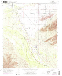
Editions of this 1952 Laveen Map
5 editions found
Other maps of this area

1912 · Phoenix
USGS Topo · 1:62,500

1913 · Maricopa
USGS Topo · 1:62,500

1914 · Phoenix
USGS Topo · 1:62,500

1915 · Maricopa
USGS Topo · 1:62,500

1946 · Avondale
USGS Topo · 1:62,500

1948 · Cashion
USGS Topo · 1:62,500

1951 · Mobile
USGS Topo · 1:62,500

1952 · Lone Butte
USGS Topo · 1:24,000

1952 · Laveen
USGS Topo · 1:24,000
1952 · Pima Butte
USGS Topo · 1:24,000