
1951 Map of Mobile
USGS Topo · Published 1951About this map
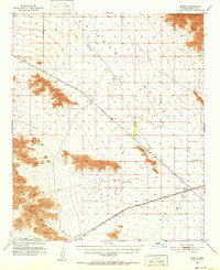
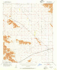
Rainbow Valley dominates this 1951 study of the desert landscape south of Phoenix, where the Southern Pacific railroad provides the primary axis of human activity. The small settlement of Mobile stands at the eastern edge of the valley, near a local Cem, while further west along the tracks lie the rail-dependent locations of Estrella (Siding) and Shawmut. The map provides a rare look at the corridor of the Butterfield Stage Line, which traces a path across the valley floor beneath the Maricopa Mountains.
Find a feature on this map
19 named features on this map. Tap any name to fly to it.
Don’t see what you’re looking for? This feature index may not catch every label — zoom into the map to look around manually.
Map Details
Editions of this 1951 Mobile Map
3 editions found
Other maps of this area

1912 · Phoenix
USGS Topo · 1:62,500

1913 · Maricopa
USGS Topo · 1:62,500

1914 · Phoenix
USGS Topo · 1:62,500

1915 · Maricopa
USGS Topo · 1:62,500

1946 · Antelope Peak
USGS Topo · 1:62,500

1946 · Avondale
USGS Topo · 1:62,500

1948 · Cashion
USGS Topo · 1:62,500

1948 · Antelope Peak
USGS Topo · 1:62,500

1951 · Estrella
USGS Topo · 1:62,500

1951 · Gila Bend
USGS Topo · 1:62,500