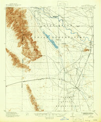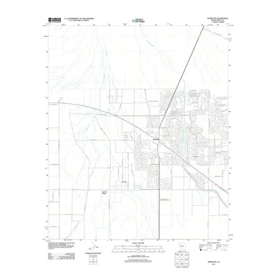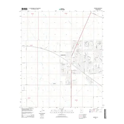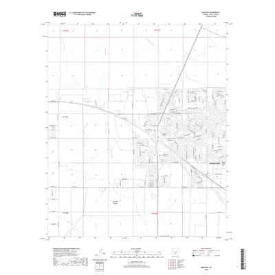
1913 Map of Maricopa
USGS Topo · Published 1958About this map
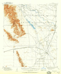
The Gila River Indian Reservation and Papago Indian Reservation define this landscape south of Phoenix during the early twentieth century. This 1913 survey, conducted by R.B. Marshall and Geo. R. Davis, captures a crucial junction of desert geography and rail expansion. The Southern Pacific railroad cuts east-west across the terrain, meeting the Arizona Eastern (Phoenix Division) line near the growing settlement of Maricopa. To the north, the Gila River and Santa Cruz River provided vital water sources in an arid region dominated by the peaks of the Sierra Estrella and Palo Verde Mts.
Find a feature on this map
22 named features on this map. Tap any name to fly to it.
Don’t see what you’re looking for? This feature index may not catch every label — zoom into the map to look around manually.
Map Details
Editions of this 1913 Maricopa Map
This is the sole edition of this map. No revisions or reprints were ever made.
Historical Maps of Goodyear Through Time
9 maps found