Loading...
Loading map...1915 Map of Maricopa
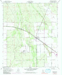
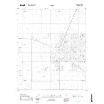
USGS Topo · Published 1946About this map
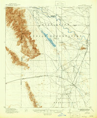
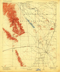
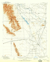
The confluence of the Gila River and the Santa Cruz River defines this landscape during the early twentieth century, serving as a vital corridor for both indigenous communities and rail expansion. The Gila River Indian Reservation and Papago Indian Reservation cover significant portions of the sheet, where traditional sites like Pima Village exist alongside the vestiges of early pioneer travel, most notably the Maricopa Wells (Abandoned) site.
Find a feature on this map
21 named features on this map. Tap any name to fly to it.
Don’t see what you’re looking for? This feature index may not catch every label — zoom into the map to look around manually.
Map Details
Date Portrayed1915
Date Published1946
PublisherU.S. Geological Survey
Map TypeTopographic
Scale1:62,500
Physical Dimensions16.9 x 20.6 inches
Editions of this 1915 Maricopa Map
2 editions found
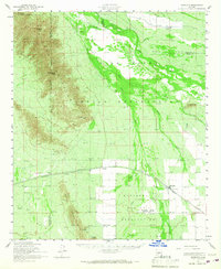
Historical Maps of Goodyear Through Time
9 maps found
Featured Locations
Source Details
SourceU.S. Geological Survey
CopyrightPublic Domain