
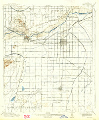
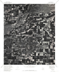
1913 Map of Mesa
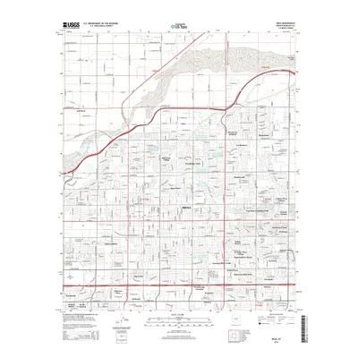
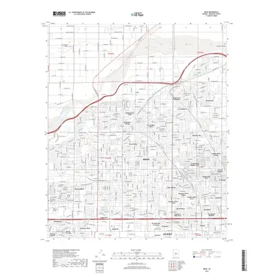
USGS Topo · Published 1955About this map
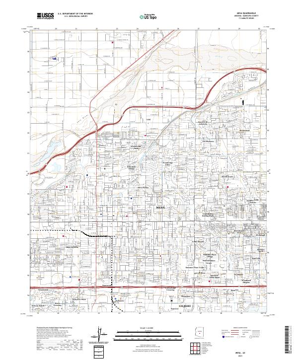
The Salt River Indian Reservation and Gila River Indian Reservation anchor this 1913 survey of the Valley of the Sun, depicting a landscape in the midst of a massive agricultural transformation. The intricate network of irrigation, including the Arizona Canal, Consolidated Canal, and Grand Canal, defines the region's development before the mid-century urban boom. Early hubs like Tempe and Mesa appear alongside smaller agrarian settlements such as Creamery, Frankenburg, and Guadalupe.
Find a feature on this map
55 named features on this map. Tap any name to fly to it.
Don’t see what you’re looking for? This feature index may not catch every label — zoom into the map to look around manually.
Map Details
Editions of this 1913 Mesa Map
This is the sole edition of this map. No revisions or reprints were ever made.
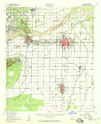
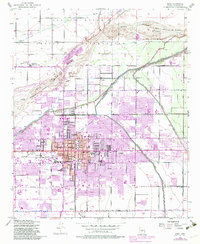
Historical Maps of Phoenix Through Time
16 maps found
1913 Mesa
Maricopa County, AZ
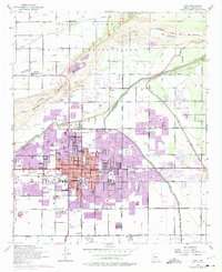
1915 Mesa
Maricopa County, AZ
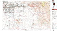
1952 Mesa
Maricopa County, AZ
1952 Mesa
Maricopa County, AZ
1954 Mesa
Maricopa County, AZ

1957 Mesa
Maricopa County, AZ

1958 Mesa
Maricopa County, AZ

1960 Mesa
Maricopa County, AZ

1964 Mesa
Maricopa County, AZ
1971 Mesa
Maricopa County, AZ
1972 Mesa
Maricopa County, AZ
1994 Mesa
Maricopa County, AZ
2011 Mesa
Maricopa County, AZ
2014 Mesa
Maricopa County, AZ
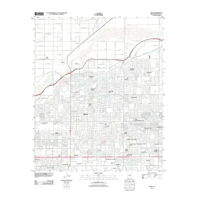
2018 Mesa
Maricopa County, AZ
2021 Mesa
Maricopa County, AZ