
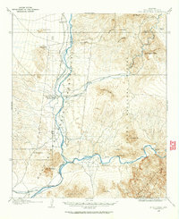
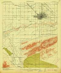
1904 Map of Camelback
USGS Topo · Published 1904About this map
Paradise Valley and the northern reaches of the Salt River Valley appear here in a period of early territorial development, surveyed by T. M. Bannon and C. H. Birdseye just after the turn of the century. The map documents the critical role of water infrastructure in the arid landscape, tracing the paths of the Arizona Canal and the Old Verde Canal as they skirt the base of the McDowell Mts.
Find a feature on this map
16 named features on this map. Tap any name to fly to it.
Don’t see what you’re looking for? This feature index may not catch every label — zoom into the map to look around manually.
Map Details
Editions of this 1904 Camelback Map
This is the sole edition of this map. No revisions or reprints were ever made.
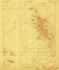
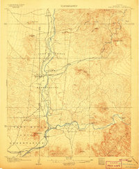
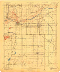
Other maps of this area

1904 · Desert Well
USGS Topo · 1:62,500
1904 · Ft. McDowell
USGS Topo · 1:62,500
1906 · Camelsback
USGS Topo · 1:62,500
1906 · Ft. McDowell
USGS Topo · 1:62,500
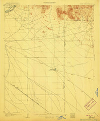
1906 · Desert Well
USGS Topo · 1:62,500

1912 · Phoenix
USGS Topo · 1:62,500

1913 · Mesa
USGS Topo · 1:62,500
1914 · Phoenix
USGS Topo · 1:62,500
1915 · Mesa
USGS Topo · 1:62,500

1930 · Cave Creek
USGS Topo · 1:125,000