
1906 Map of Desert Well
USGS Topo · Published 1906About this map
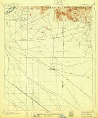
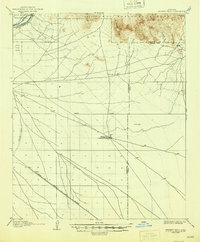
The Salt River Ind Res and the irrigation infrastructure of the Salt River valley anchor this 1904 survey of the Arizona desert. Early ranching and mining operations are visible at Buchanan's Ranch and the Bulldog Mine at the foot of the Goldfield Mts., while the southern landscape shows the arrival of the Santa Fe Prescott and Phoenix RR near Higley. A critical feature of this arid terrain is the Desert Well, recorded at a depth of 212 feet, which served as a vital water source along the Base Line before the expansion of the Highland Canal and Consolidated Canal fully transformed the region’s agricultural capacity. The map also delineates the Maricopa and Pinal County boundary line as it crosses through the Pass Mts. and the open desert floor.
Find a feature on this map
21 named features on this map. Tap any name to fly to it.
Don’t see what you’re looking for? This feature index may not catch every label — zoom into the map to look around manually.
Map Details
Editions of this 1906 Desert Well Map
3 editions found
Other maps of this area

1900 · Florence
USGS Topo · 1:125,000

1902 · Florence
USGS Topo · 1:125,000

1904 · Camelback
USGS Topo · 1:62,500

1904 · Desert Well
USGS Topo · 1:62,500

1904 · Ft. McDowell
USGS Topo · 1:62,500

1906 · Camelsback
USGS Topo · 1:62,500

1906 · Ft. McDowell
USGS Topo · 1:62,500

1907 · Sacaton
USGS Topo · 1:62,500

1907 · Roosevelt
USGS Topo · 1:125,000

1909 · Four Peaks
USGS Topo · 1:125,000