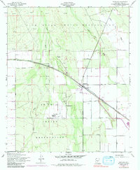
1952 Map of Maricopa
USGS Topo · Published 1984About this map
The intersection of the Southern Pacific Road and the desert washes of Pinal County defines this mid-century portrait of the Sonoran landscape. At the center of the survey lies the town of Maricopa, a rail-aligned settlement serving as a hub for the surrounding agricultural and reservation lands. The map details the transition from the Gila River Indian Reservation in the north to the Ak Chin Indian Reservation in the south, where the community of Ak Chin is anchored by the St Francis Mission and a local Cem.
Find a feature on this map
20 named features on this map. Tap any name to fly to it.
Don’t see what you’re looking for? This feature index may not catch every label — zoom into the map to look around manually.
Map Details
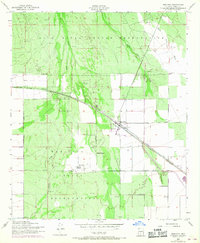
Editions of this 1952 Maricopa Map
3 editions found
Other maps of this area

1913 · Maricopa
USGS Topo · 1:62,500

1914 · Gila Butte
USGS Topo · 1:62,500

1915 · Maricopa
USGS Topo · 1:62,500

1917 · Gila Butte
USGS Topo · 1:62,500

1922 · Casa Grande
USGS Topo · 1:62,500

1924 · Casa Grande
USGS Topo · 1:62,500

1946 · Antelope Peak
USGS Topo · 1:62,500

1948 · Antelope Peak
USGS Topo · 1:62,500

1952 · Maricopa
USGS Topo · 1:24,000

1952 · Sacaton Butte
USGS Topo · 1:24,000