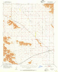
1951 Map of Mobile
USGS Topo · Published 1955About this map
The Southern Pacific railroad corridor defines the development of this desert landscape in the early 1950s, linking small outposts across the Sonoran terrain. The settlement of Mobile sits at a junction of infrastructure, while to the west, Estrella (Siding) and Shawmut mark the rhythmic necessity of rail sidings in this arid stretch. Historical transit patterns are visible in the Butterfield Stage Line, shown with its Probable Route Of, indicating the deep roots of travel through the region.
Find a feature on this map
18 named features on this map. Tap any name to fly to it.
Don’t see what you’re looking for? This feature index may not catch every label — zoom into the map to look around manually.
Map Details
Editions of this 1951 Mobile Map
3 editions found

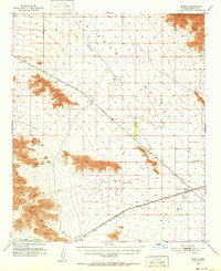
Other maps of this area

1912 · Phoenix
USGS Topo · 1:62,500

1913 · Maricopa
USGS Topo · 1:62,500

1914 · Phoenix
USGS Topo · 1:62,500

1915 · Maricopa
USGS Topo · 1:62,500

1946 · Antelope Peak
USGS Topo · 1:62,500

1946 · Avondale
USGS Topo · 1:62,500

1948 · Cashion
USGS Topo · 1:62,500

1948 · Antelope Peak
USGS Topo · 1:62,500

1951 · Estrella
USGS Topo · 1:62,500

1951 · Gila Bend
USGS Topo · 1:62,500