
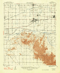
1948 Map of Cashion
USGS Topo · Published 1948About this map
The confluence of the Gila River, Salt River, and Agua Fria River anchor this mid-century look at the agricultural and military landscape of Maricopa County. The Gila and Salt River Meridian and Base Line intersect at the Initial Point just south of the river junction, marking the fundamental survey origin for the state of Arizona. This area reflects a period of significant growth and transition, shown through the network of the Roosevelt Irrigation District Canal and the presence of wartime infrastructure like the U S Naval Air Facility and Litchfield Airport.
Find a feature on this map
36 named features on this map. Tap any name to fly to it.
Don’t see what you’re looking for? This feature index may not catch every label — zoom into the map to look around manually.
Map Details
Editions of this 1948 Cashion Map
2 editions found
Other maps of this area

1912 · Phoenix
USGS Topo · 1:62,500

1913 · Maricopa
USGS Topo · 1:62,500

1914 · Phoenix
USGS Topo · 1:62,500

1915 · Maricopa
USGS Topo · 1:62,500

1946 · Avondale
USGS Topo · 1:62,500

1951 · Mobile
USGS Topo · 1:62,500

1951 · Cotton Center
USGS Topo · 1:62,500

1952 · Laveen
USGS Topo · 1:24,000

1952 · Montezuma Peak
USGS Topo · 1:24,000

1952 · Fowler
USGS Topo · 1:24,000