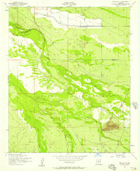
1952 Map of Pima Butte
USGS Topo · Published 1957About this map
The Gila River Indian Reservation dominates this 1950s landscape, where the confluence of arid hydrology and early agricultural engineering is clearly visible. The desert floor is defined by the wandering paths of the Gila River, Santa Cruz Wash, and Vekol Wash. Water management for ranching and farming is evidenced by the Hoover Ditch and Santa Cruz Ditch, which divert flow across the Maricopa and Pinal county lines. A single prominent landmark, Pima Butte, rises above the surrounding flats in the southeastern quadrant, serving as a natural navigational anchor. Evidence of localized cattle operations appears through various named Corral sites and the Lone Butte Ranch, illustrating the remote ranching economy that persisted in this region of Arizona before the rapid expansion of modern irrigation and suburban development.
Find a feature on this map
13 named features on this map. Tap any name to fly to it.
Don’t see what you’re looking for? This feature index may not catch every label — zoom into the map to look around manually.
Map Details
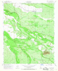
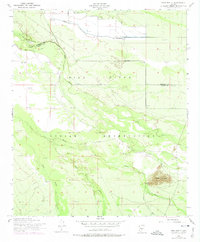
Editions of this 1952 Pima Butte Map
3 editions found
Other maps of this area

1912 · Phoenix
USGS Topo · 1:62,500

1913 · Mesa
USGS Topo · 1:62,500

1913 · Maricopa
USGS Topo · 1:62,500

1914 · Gila Butte
USGS Topo · 1:62,500

1914 · Phoenix
USGS Topo · 1:62,500

1915 · Mesa
USGS Topo · 1:62,500

1915 · Maricopa
USGS Topo · 1:62,500

1917 · Gila Butte
USGS Topo · 1:62,500

1952 · Maricopa
USGS Topo · 1:24,000

1952 · Sacaton Butte
USGS Topo · 1:24,000