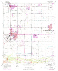
1957 Map of Tolleson
USGS Topo · Published 1977About this map
Agricultural development and post-war suburbanization converge where the Agua Fria River meets the Gila River. In the late 1950s, the landscape is defined by extensive irrigation networks like the Buckeye Canal and Southern Canal, supporting the regional economy alongside industrial markers like the Cotton Gin and several Gravel Pit operations. The presence of the Southern Pacific railroad provides a vital link for the growing towns of Goodyear, Avondale, and Tolleson.
Find a feature on this map
69 named features on this map. Tap any name to fly to it.
Don’t see what you’re looking for? This feature index may not catch every label — zoom into the map to look around manually.
Map Details
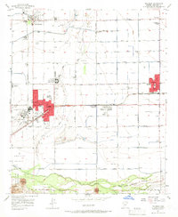
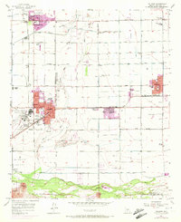
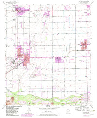
Editions of this 1957 Tolleson Map
5 editions found

Other maps of this area

1912 · Phoenix
USGS Topo · 1:62,500

1914 · Phoenix
USGS Topo · 1:62,500

1946 · Avondale
USGS Topo · 1:62,500

1948 · Cashion
USGS Topo · 1:62,500

1952 · Laveen
USGS Topo · 1:24,000

1952 · Fowler
USGS Topo · 1:24,000

1952 · Phoenix
USGS Topo · 1:62,500

1954 · Phoenix
USGS Topo · 1:250,000

1957 · Phoenix
USGS Topo · 1:250,000

1957 · Perryville
USGS Topo · 1:24,000