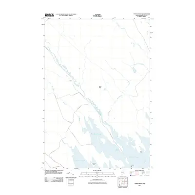
2011 Map of Tomah Ridge
USGS Topo · Published 2011About this map
Tomah Ridge and the sprawling waters of the Berry Brook Flowage dominate this Maine landscape, where the northern timberlands meet an intricate network of streams and wetlands. The map shows the convergence of Tomah Stream and Kennebec Brook as they feed into the larger flowages of the southern reaches. Human presence is marked by isolated landmarks and specialized infrastructure, including Keeley Farm and Lamb Place, connected by functional routes like Telephone Rd and Belmore Point Rd.
Find a feature on this map
22 named features on this map. Tap any name to fly to it.
Don’t see what you’re looking for? This feature index may not catch every label — zoom into the map to look around manually.
Map Details
Editions of this 2011 Tomah Ridge Map
This is the sole edition of this map. No revisions or reprints were ever made.
Other maps of this area
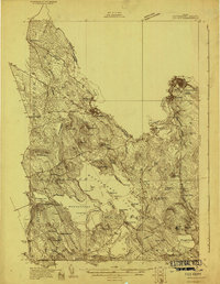
1929 · Calais
USGS Topo · 1:48,000
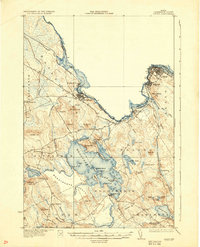
1932 · Calais
USGS Topo · 1:62,500
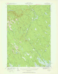
1940 · Waite
USGS Topo · 1:62,500
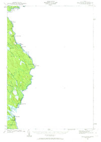
1940 · Kellyland
USGS Topo · 1:62,500
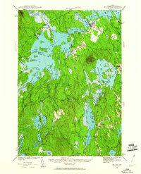
1941 · Big Lake
USGS Topo · 1:62,500
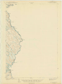
1942 · Kellyland
USGS Topo · 1:62,500
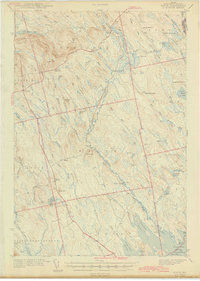
1942 · Waite
USGS Topo · 1:62,500
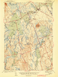
1943 · Big Lake
USGS Topo · 1:62,500
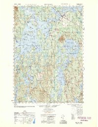
1952 · Big Lake
USGS Topo · 1:50,000
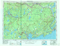
1957 · Fredericton
USGS Topo · 1:250,000